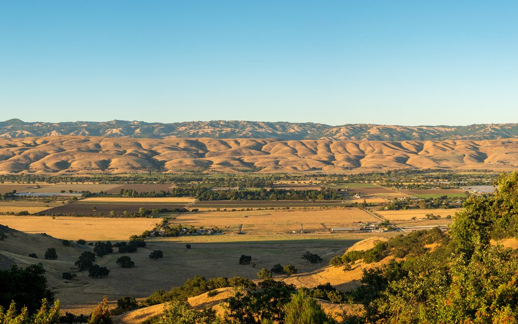
For thousands of years, Indigenous peoples stewarded Coyote Valley’s rich tapestry of freshwater wetlands, grassland, oak savannas, and riparian woodlands. After the European conquest, the Indigenous residents were forcibly removed and Indigenous society was replaced with farms, roadways, and scattered residential and commercial development.
Descendants of the original Indigenous inhabitants of the region still reside in the South Bay, and their historic ethic of stewardship continues into the present day. Learn more at amahmutsun.org and muwekmafoundation.org.
As the City of San Jose grew to the north and the City of Morgan Hill grew to the south, Coyote Valley remained rural. That began to change in the second half of the 20th century. This timeline describes some of the milestones in the effort to keep Coyote Valley green.
1960s:
The City of San Jose turns its gaze toward Coyote Valley as an area for urban expansion as the unrelenting sprawl and expansion of the city kicks into gear.
1970s:
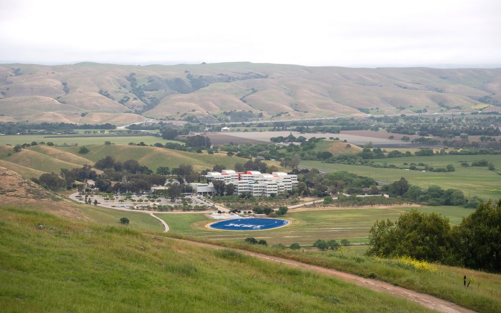
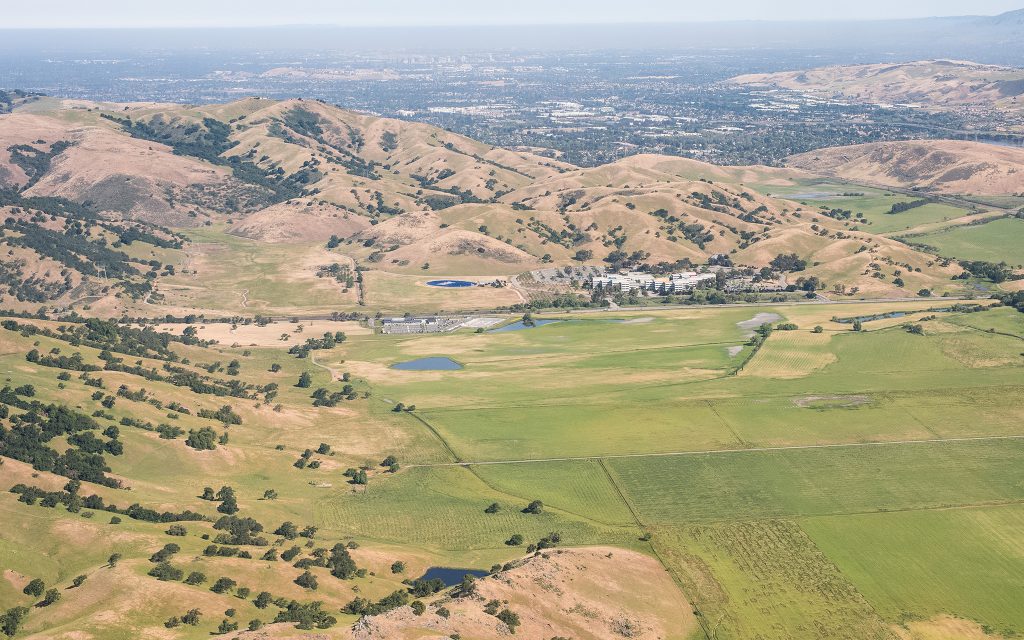
In 1976, IBM completes the 620,000 square foot IBM Labs facility at 555 Bailey Road. This remains the only large tech development in Coyote Valley. In what will become a trend, Hewlett Packard chooses Alviso as the site for its new headquarters instead of Coyote Valley.
1980s:
San Jose adopts a General Plan that envisions tech campuses and residential development across Coyote Valley. Large industrial projects are proposed but not actualized by companies like Tandem Computer, Apple, and ROLM Corporation.

1990s:
A Cisco campus in the Coyote Valley Research Park, is proposed for almost all of North Coyote Valley. The project is approved by the City Council despite strong opposition from residents and environmental groups, but fails as a result of the dot-com bust of 2001 combined with the delay caused by a lawsuit by the Santa Clara Valley Bird Alliance (then known as Audubon Society) and the Sierra Club Loma Prieta Chapter.
2000s:
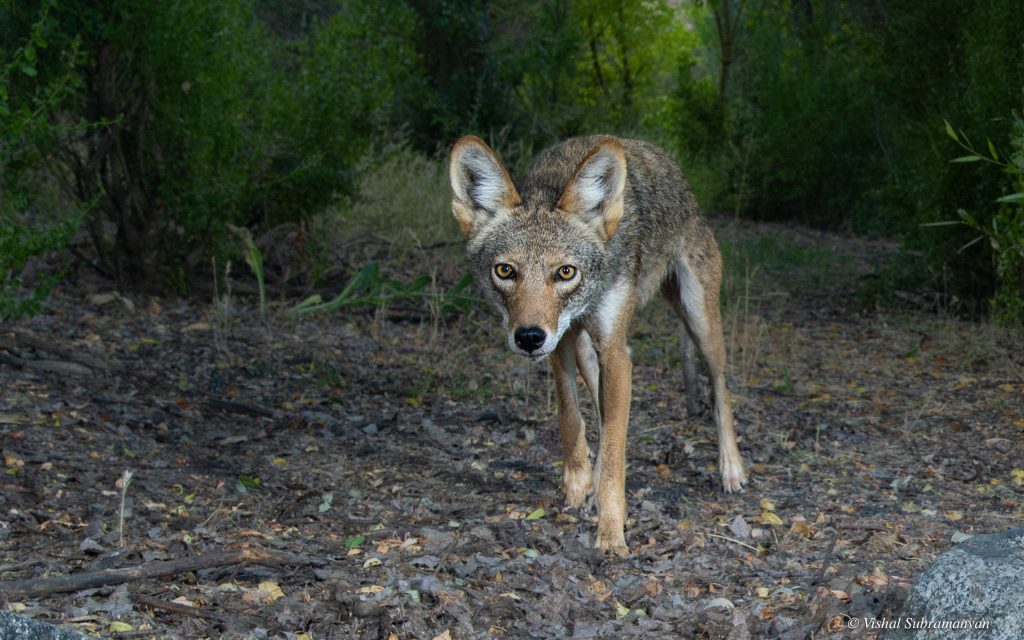
A growing body of scientific research identifies Coyote Valley as a critical wildlife linkage between the Santa Cruz Mountains and the Diablo Range. Citing challenges with environmental review and entitlement hurdles, the City of San Jose scraps plans to build 25,000 residential units in Coyote Valley. In 2010, the Santa Clara Valley Open Space Authority acquires 348 acres in mid-Coyote Valley. Sustainable Agricultural Education Center (SAGE) initiates Conserving Coyote Valley Agriculture Feasibility Study.
2010-15:
Protect Coyote Valley coalition is formed, led by Green Foothills, to fight development proposals in Coyote Valley.
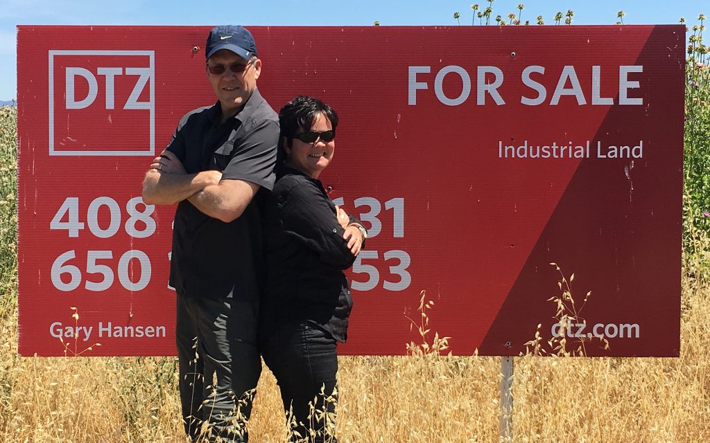
The Panattoni Development Company proposes a warehouse on 30 acres in North Coyote Valley, but– after overwhelming opposition from residents and environmental groups including Green Foothills, Greenbelt Alliance, Santa Clara Valley Bird Alliance, and Sierra Club Loma Prieta Chapter — it instead sells the land to Peninsula Open Space Trust (POST). Fisher Flat becomes the first POST-protected property in Coyote Valley.
2016-18:
With support from POST, the Santa Clara Valley Open Space Authority (OSA) publishes the Coyote Valley Landscape Linkage Report, summarizing the scientific importance of the valley to wildlife movement across the region, as well as water storage and quality.
POST purchases the 63-acre Fisher’s Bend property in partnership with OSA.
Voters reject Measure B denying special privileges to developers and pass Measure T allocating $50M in public funds for land protection in Coyote Valley.
2019-20:
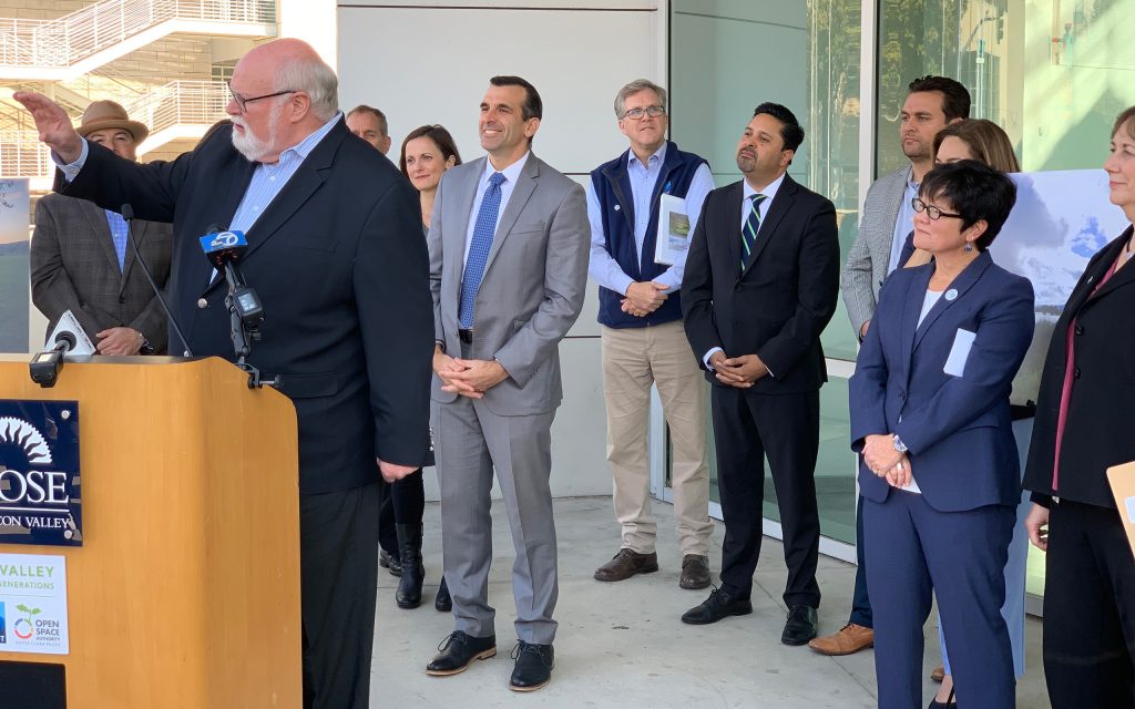
The San Jose City Council unanimously approves the purchase and permanent protection of 937 acres in the North Coyote Valley through an innovative public and private partnership with POST and OSA. Coyote Valley officially recognized as a landscape of statewide significance through AB948.
With the help of POST and other funders, the Santa Clara Valley Habitat Agency purchased and now manages the 2,500-acre Tilton Ranch.
Coyote Valley Existing Conditions Report published.
2021:
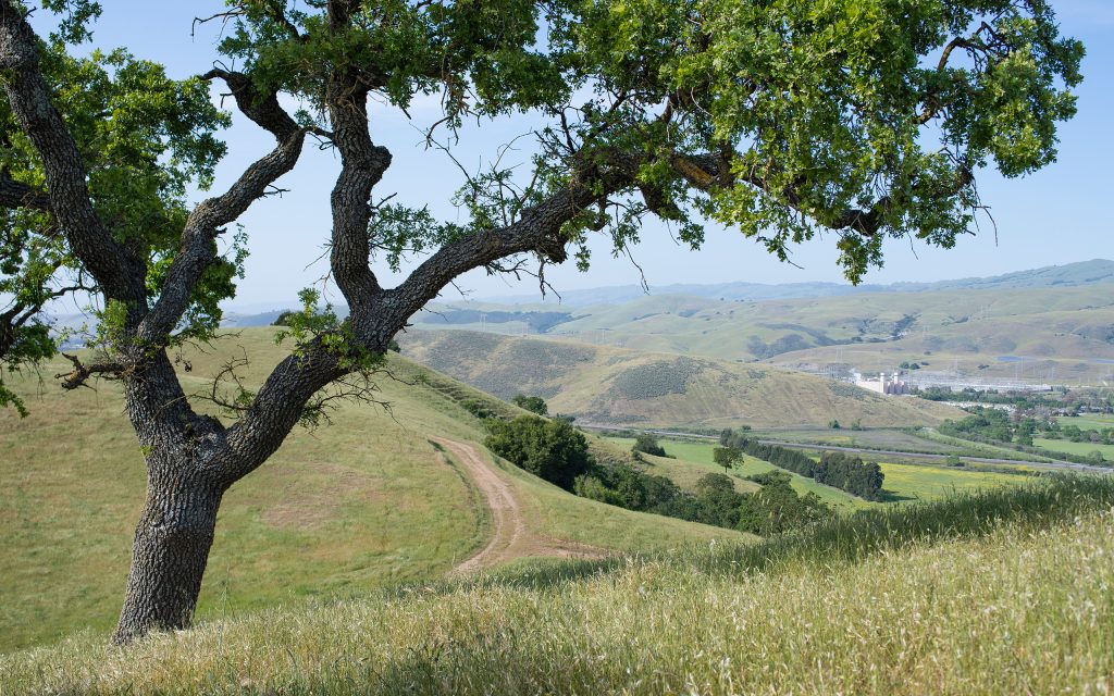
After a multi-year campaign by the Protect Coyote Valley coalition, the San José City Council votes unanimously to designate Coyote Valley as open space and agricultural land. The Santa Clara County Board of Supervisors votes to restrict the size and type of development in the mid-Valley and to support climate resilient agriculture. Coyote Valley is now protected by law from urban-scale development. The Santa Clara Valley Open Space Authority begins a Master Planning Process for restoration, supporting a vibrant ecosystem in Coyote Valley.
Much progress has been made in protecting and connecting the Coyote Valley landscape. But threats to this landscape are ongoing. Developers are still trying to change or circumvent the city’s new policies and allow development in Coyote Valley. With your help, we will continue to protect this region’s fragile wildlife linkages, restore the historic floodplains, and support the agricultural practices that will bring environmental and economic benefits to all of us in the years ahead.

2022-23:
POST buys 71-acres along Fisher Creek
POST buys 1,926-acre Lakeside Ranch in the hills south of Coyote Valley
$5M WCB Reimbursement Grant for Wetlands Restoration
Coyote Valley
Name threats
Name OSA projects
2024-Ongoing:
POST transfers 376-acre Laguna Seca wetland to OSA. (11/24)
POST buys 207 acres above Coyote Valley. (4/25)
The City of San Jose drops a plan to explore increasing development along Monterey Road and Coyote Creek, the most important wildlife corridor through the valley.
Name OSA projects – BDA work?
